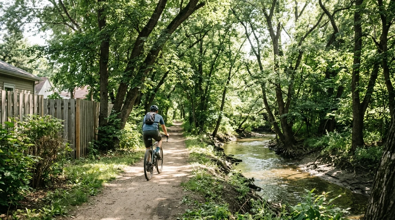
A trail corridor that south Minneapolis residents have used informally for generations along Minnehaha Creek is on track to become an official regional trail, a designation that would unlock state funding, standardize upkeep, and cement the route's place in long-range planning for the Twin Cities metro.
The Minneapolis Park and Recreation Board (MPRB), the independently elected body that runs one of the most celebrated urban park systems in the country, is preparing to hire a firm for the Minnehaha Creek Regional Trail project. The work is listed among upcoming opportunities on the city's bid portal, though a formal solicitation has not yet been released and details on budget, scope and timeline remain undisclosed.
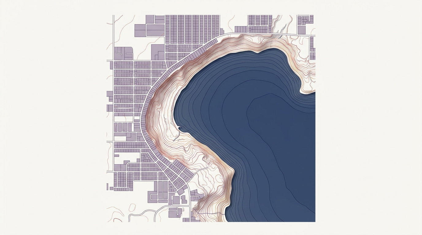
The creek itself runs roughly 22 miles from Lake Minnetonka east through south Minneapolis to Minnehaha Falls and the Mississippi River. The Minneapolis segment covers about 7 miles, threading through neighborhoods including Linden Hills, Nokomis and Kingfield before reaching the falls. Formalizing it as a regional trail would bring it into the Metropolitan Council's recognized network, making it eligible for Legacy Amendment dollars, the sales-tax revenue Minnesota voters approved in 2008 to fund parks, trails and natural areas across the seven-county metro.
The project connects to a vision that dates back to 1883, when landscape architect Horace Cleveland proposed a "Grand Rounds" for Minneapolis: a chain of parkways and green corridors linking the city's lakes, creeks and the Mississippi. MPRB has ranked first or second nationally in the Trust for Public Land's ParkScore index in recent years, and the creek corridor has long been considered an unfinished piece of that original framework.
But the project arrives at a complicated moment for MPRB. The board adopted an equity-based funding formula as part of its 20-Year Neighborhood Park Plan after data showed capital investment had historically concentrated in wealthier, whiter parts of the city. The neighborhoods that line Minnehaha Creek, including Linden Hills and Lynnhurst, are among the most affluent in Minneapolis, a fact that has drawn scrutiny in past debates over where the park system directs its resources. Whether formalizing a trail in an already well-served corridor advances or undercuts that equity commitment is a question MPRB will likely face as the project takes shape.
Other recent MPRB infrastructure work in south Minneapolis includes the planned reconstruction of a century-old bridge over the Midtown Greenway in Phillips and rehabilitation of an aging tunnel beneath 38th Street South, both in neighborhoods closer to the equity concerns the board has pledged to prioritize.
The full scope of the Minnehaha Creek Regional Trail project, including cost estimates and a construction timeline, is expected to become clearer once MPRB formally releases the solicitation.