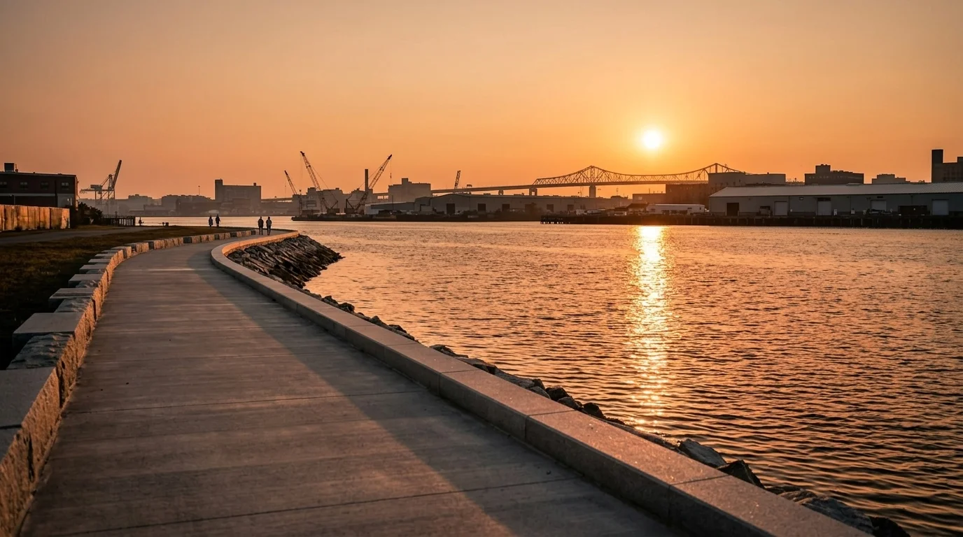
Charlestown residents have lived steps from Boston Harbor for generations without meaningful access to it, blocked by I-93, the Tobin Bridge, and decades of industrial use along Little Mystic Channel. That is now changing. Boston is moving into the construction phase of a Harborwalk extension along the channel, hiring construction managers to oversee the work as detailed in a solicitation posted July 21 on the city's bid portal.
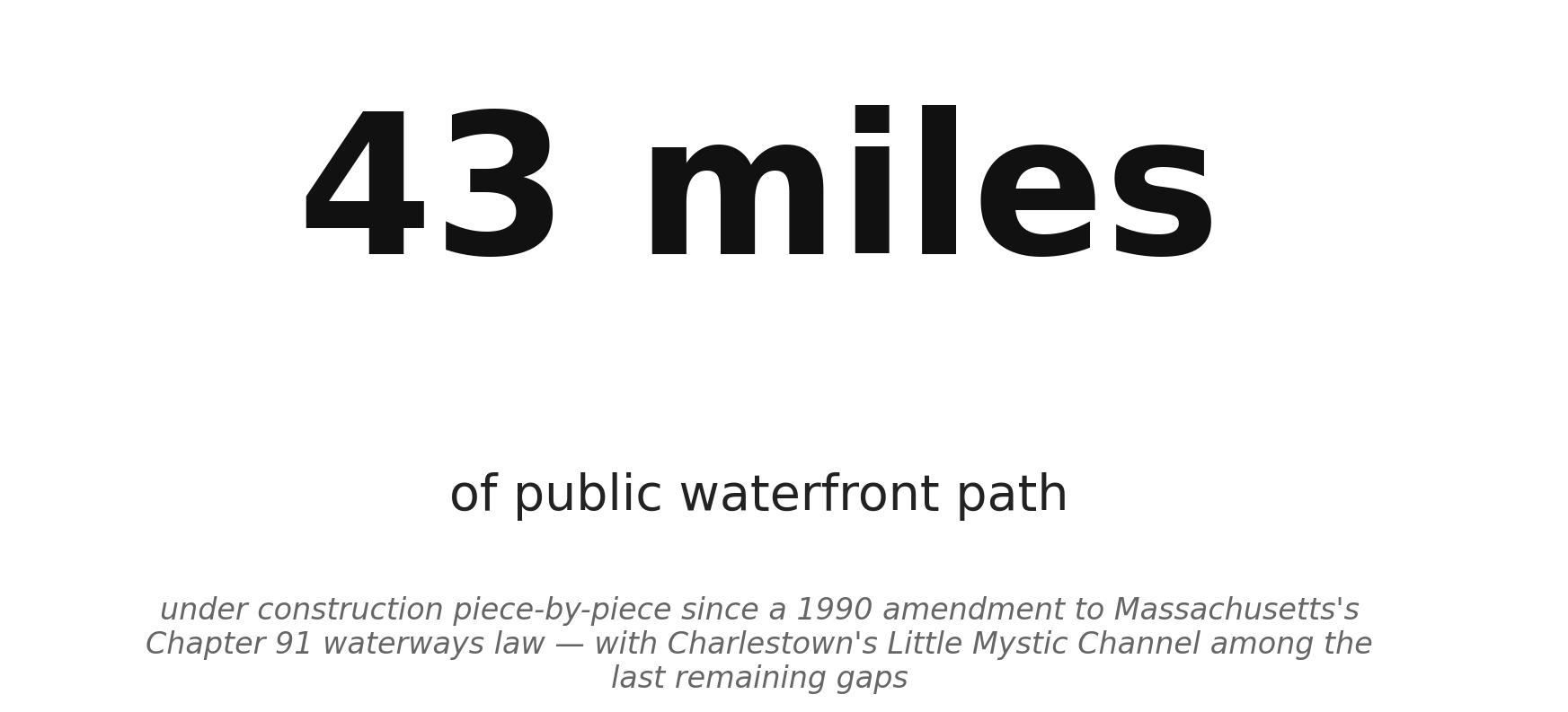
The extension would fill one of the last significant gaps in the Boston Harborwalk, a 43-mile public waterfront path assembled piece by piece over nearly 40 years. The network traces its origins to a 1990 amendment to Massachusetts's Chapter 91 waterways law, which required private waterfront developers to provide public shoreline access as a condition of building. As Boston Harbor transformed from what was once called the dirtiest in America into swimmable water, the city committed to making it walkable too.
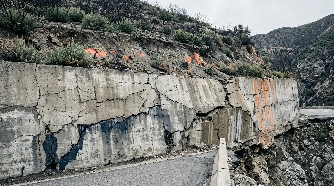
Little Mystic Channel, wedged between the Charlestown Navy Yard and the Mystic River, has been one of the hardest stretches to reach. Massport terminals, bridge infrastructure, and industrial sites like the recently retired Mystic Generating Station have long kept the public out. The channel sits in a federally designated flood zone and is classified as an environmental justice community under Massachusetts criteria, meaning its residents face compounding vulnerabilities from both economic displacement and climate risk.
Source: NationGraph.
The Harborwalk extension here is designed to do more than create a walking path. Under Mayor Michelle Wu's Resilient Boston Harbor plan, new waterfront edges are being built as part of the city's defense against sea-level rise and storm surge, functioning as low-profile flood barriers as much as public amenities. Charlestown, physically bounded on three sides by water, faces some of Boston's highest surge exposure.
The project aligns with the city's broader PLAN: Charlestown effort, which has been working to reconnect the neighborhood to its waterfront as the Navy Yard area has transformed around it. Boston has been repairing and upgrading other historic open spaces across the city on a parallel track.
The specific construction budget and completion timeline have not been confirmed from the public record. The move to hire construction managers signals the project has cleared design and is heading toward a groundbreaking, though a start date has not been publicly announced.