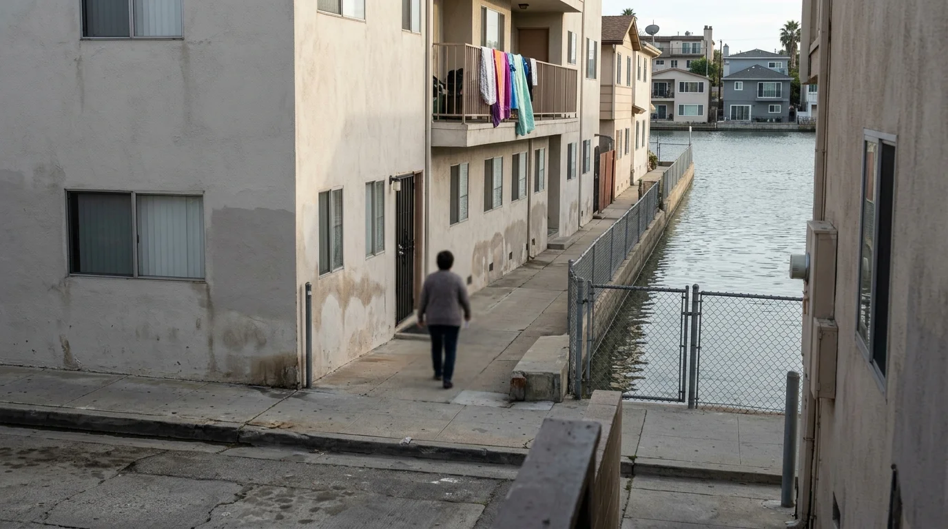
The Canal District in San Rafael, California already floods. During king tides and heavy storms, water backs up into one of the Bay Area's most densely packed neighborhoods, home to more than 12,000 people, most of them Latino immigrants living in roughly half a square mile boxed in by the San Rafael Canal, US-101, and the bay. There is almost nowhere to retreat.
Now San Rafael is partnering with Marin County and two community organizations to study what climate adaptation could actually look like for the neighborhood, backed by state grants from the State Coastal Conservancy and the Governor's Office of Planning and Research. The full project scope is posted on the city's website.
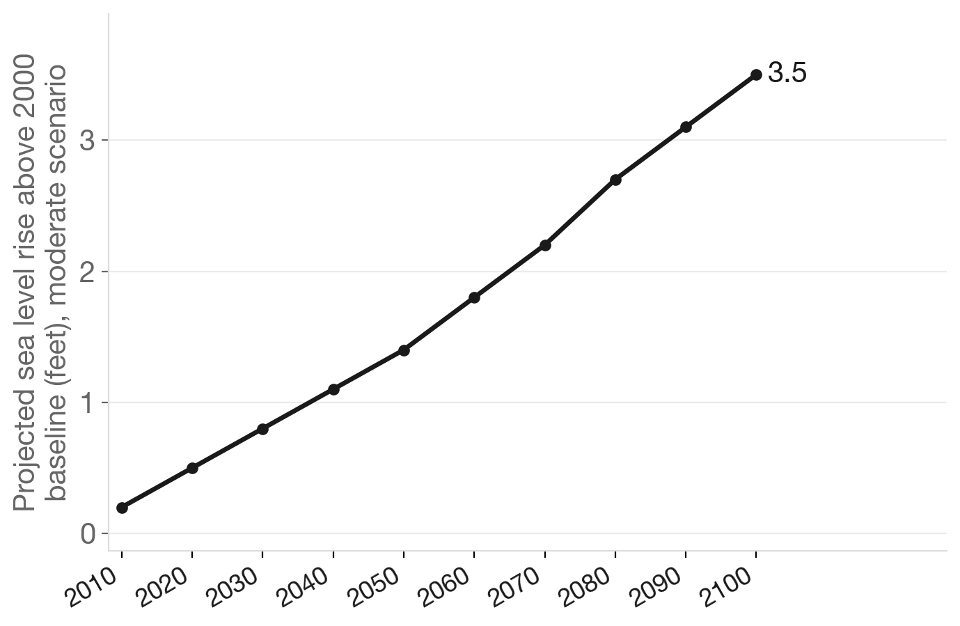
The Canal District sits on filled marshland built up in the mid-20th century, and the flooding problem is expected to worsen. California's Ocean Protection Council projects the Bay Area could see up to 3.5 feet of sea level rise by 2100 under moderate scenarios, and the Canal has virtually no buffer against even modest increases.
Source: NationGraph.
What sets this effort apart from earlier Bay Area climate planning is who is at the table. Canal Alliance, a nonprofit that has served the neighborhood's Central American immigrant community since 1982, and the Multicultural Center of Marin are formal partners on the project, not just consultants. The city has designated the neighborhood's lower-income census tracts as a priority engagement area, reflecting a state mandate that adaptation funding reach environmental justice communities rather than defaulting to wealthier ones.
That mandate has context: Marin is a wealthy, environmentally progressive county whose most climate-exposed residents are also its most economically vulnerable. Canal Alliance has pressed city and county officials for years to treat the neighborhood's flooding and infrastructure problems as urgent. The question this study is meant to answer is what the realistic options are, technically and financially, before conditions get worse.
The project will assess vulnerable critical facilities, model adaptation scenarios and produce final recommendations grounded in community input. As NationGraph has covered previously, the Canal District has faced compounding infrastructure pressures alongside its flood exposure.
The study is an early step, not a solution. The harder work of funding, designing and building any actual protections comes after, and that process in California has historically moved slowly. What gets recommended, and whether those recommendations ever become infrastructure, remains to be seen.