San Rafael, California is moving to confront one of the Bay Area's sharpest climate inequities: its most flood-exposed neighborhood is also its poorest, a majority-Latino immigrant community sitting on filled tidal marsh at the edge of San Francisco Bay.
The city is hiring consultants to study how to protect the Canal District from rising seas, backed by state grants from the State Coastal Conservancy and the Governor's Office of Planning and Research. The RFP for sea level rise adaptation planning services was posted Aug. 21, 2023, and marks the first formal step toward designing protections for a neighborhood that regional planners have identified as among the most flood-vulnerable in Marin County.
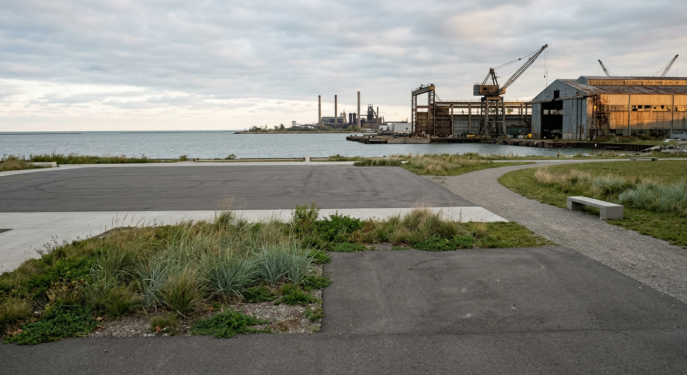
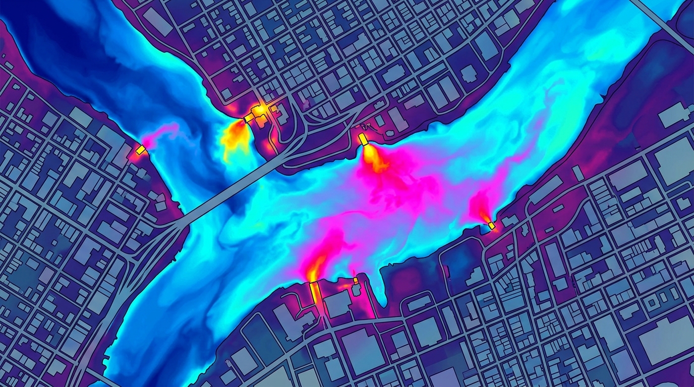
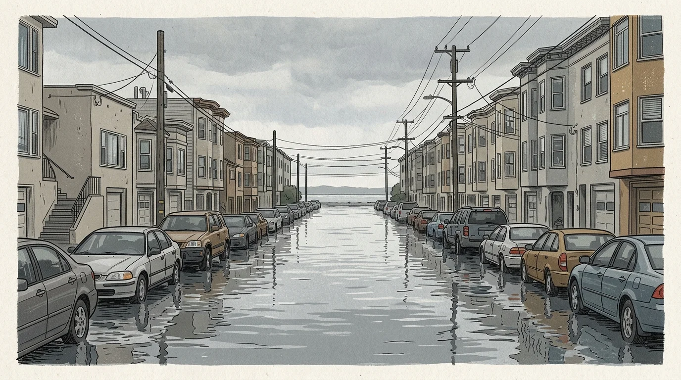
The Canal District's exposure is both geographic and historical. The neighborhood was built on filled tidelands in the mid-20th century, meaning the ground beneath it is subsiding even as the bay climbs. Parts of the area sit at or below current high-tide lines, and flooding on streets like Bellam Boulevard during king tides is already routine. California's Ocean Protection Council has recommended planners use a 3.5-foot rise scenario by 2050 for vulnerable assets, a projection that would put large sections of the neighborhood underwater with regularity.
What sets this planning effort apart from earlier Bay Area adaptation work is who is at the table. Two community-based organizations, Canal Alliance and the Multicultural Center of Marin, are formal project partners alongside the City of San Rafael and the County of Marin. The study is explicitly structured around a "Primary Engagement Area" defined by priority equity census tracts, ensuring that residents most at risk have a say in what gets built and where. That governance model reflects a policy shift driven by state legislation requiring climate adaptation funding to flow first to disadvantaged communities.
The contrast with surrounding Marin County is stark. The county is one of the wealthiest in the United States, but the Canal District is a pocket of concentrated poverty within it, roughly 80 percent Latino with median incomes a fraction of the county average and some of the densest housing in the region. The same waterfront geography that makes the neighborhood vulnerable has made it a lower political priority than wealthier shoreline communities like Tiburon and Belvedere.
The study will assess the feasibility of various adaptation options, identify vulnerable critical facilities like schools and emergency services, and produce final recommendations the city and county can use to pursue construction funding. San Rafael has been building out its climate resilience work more broadly in recent years, including a new fireboat designed for a more hazardous bay and investments in Canal District community infrastructure like a renovated neighborhood library.
The consultant selection process is underway. What comes after, including how quickly the city can move from recommendations to actual flood protection, remains an open question for a neighborhood that has already been waiting decades for answers.