Rural towns and Tribal Nations along Lake Superior's shoreline are already living with the consequences of a rapidly warming Great Lakes region: record flooding, intensifying lake-effect snowfall, and coastlines eroding faster than communities can respond. A new $140,401 federal grant to Michigan Technological University aims to give those communities something they've largely lacked: practical, locally tailored tools for anticipating and surviving what's coming next.
The NSF-funded project focuses on the Upper Peninsula of Michigan, one of the most weather-battered and resource-limited regions in the country. The UP's roughly 300,000 residents contend with more than 200 inches of snowfall annually in some areas, steep terrain prone to landslides, and increasingly severe flooding. Several Tribal Nations, including the Keweenaw Bay Indian Community and the Lac Vieux Desert Band of Lake Superior Chippewa, hold treaty lands along vulnerable coastlines and waterways, yet operate with municipal budgets a fraction of what's needed for serious hazard mitigation.
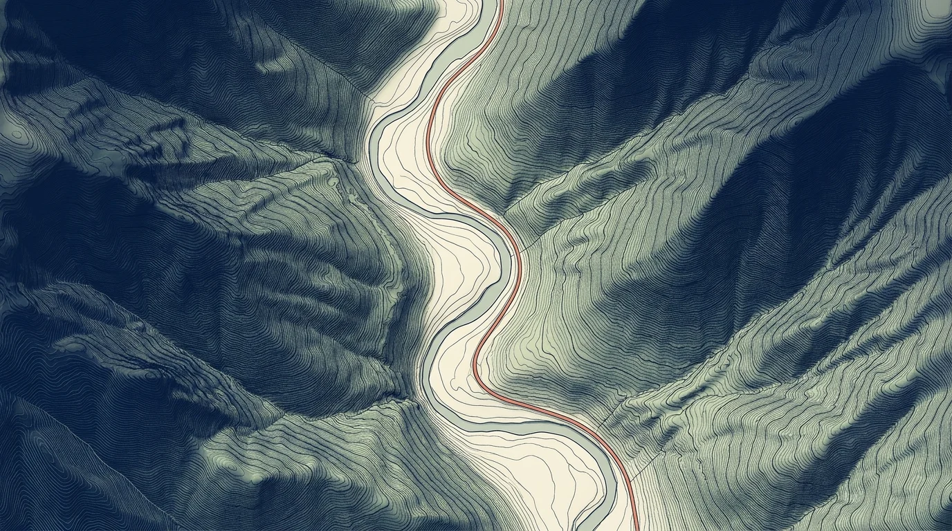
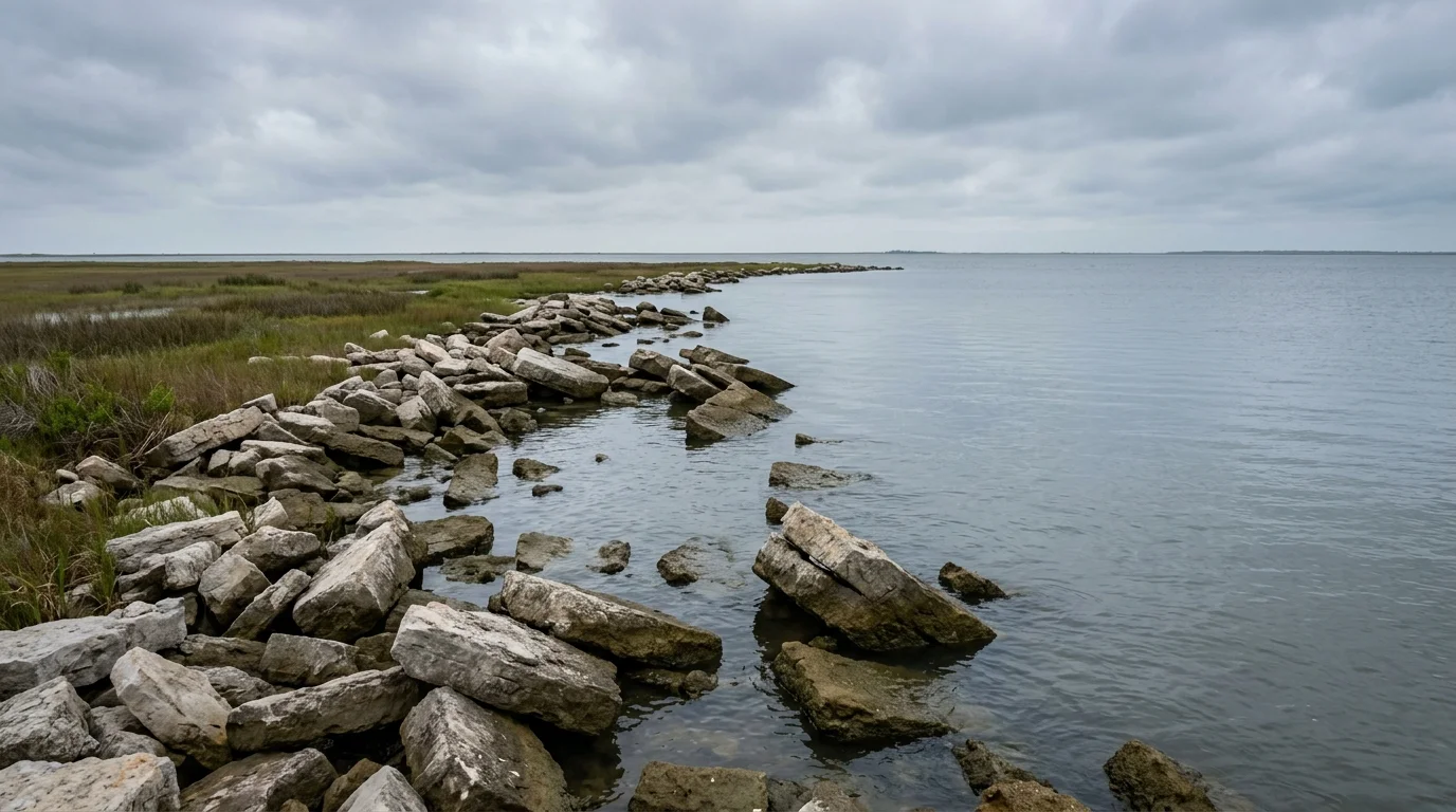
The broader context is stark. Lake Superior has warmed roughly 4.5°F since 1980, making it one of the fastest-warming large lakes on Earth. Warmer water drives heavier precipitation, longer ice-free seasons, and more destructive storms. The 2019-2020 period brought record-high Great Lakes water levels that caused catastrophic coastal erosion across Michigan, Wisconsin, and neighboring states. Communities on Wisconsin's Lake Superior coast, including those near the Apostle Islands and Bad River Band lands, face nearly identical hazards, and the grant's subawards are expected to extend the work into that region.
What makes this project different from standard climate research is who's involved in building the tools. Michigan Tech researchers will work alongside local governments, Tribal Nations, and residents to co-develop risk assessment tools and a publicly accessible platform called Rural Hazard Resilience Tools, designed so local planners can visualize risks and map out responses without needing a team of climate scientists on staff. That approach reflects a broader shift in climate adaptation science, away from top-down federal models that rural and Indigenous communities have historically struggled to translate into local action.
The grant is jointly funded through NSF's National Discovery Cloud for Climate initiative, a program launched in 2023 to extend access to high-powered climate computing to institutions and communities that can't afford it independently. Michigan Tech, based in Houghton in the heart of the UP, will use that computing capacity to run high-resolution simulations of how weather patterns across the region are changing, and what that means for specific hazards at the community level.
At $140,000, the funding is modest relative to the scale of the problem. But the research team's goal is to produce open-access tools that outlast the grant itself, giving local emergency managers, tribal planners, and county officials a resource that remains useful regardless of shifts in federal or state climate policy. The project is in its early stages, with community engagement and tool development set to unfold over the coming years.