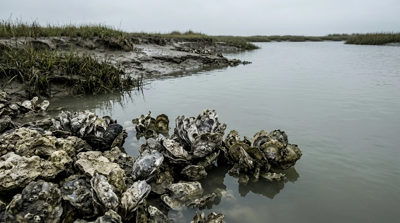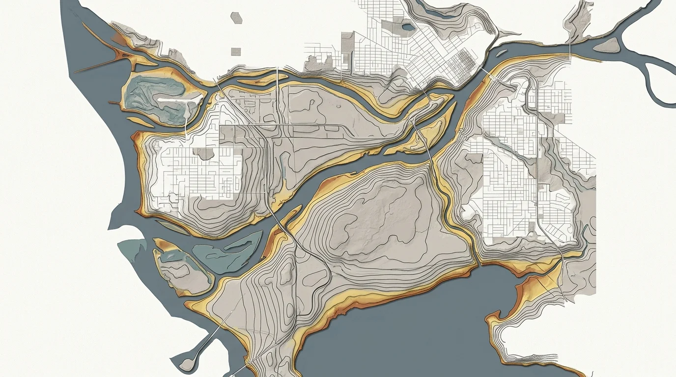
A small brook running through Peacham, Vermont is getting a closer look as the state works to reduce flooding in one of its most rural corners. The Caledonia County Natural Resources Conservation District is seeking an engineering firm to design a floodplain restoration project at South Peacham Brook, aiming to reconnect the waterway with the land around it and slow future floods before they cause damage.
Peacham sits in Vermont's Northeast Kingdom, a region of steep hills and narrow valleys that channels rainfall straight into small streams with little room to spread. The town has about 700 residents and no engineering staff of its own, making it dependent on the NRCD and state programs to manage this kind of work. Caledonia County was among the areas hit by Vermont's catastrophic flooding in July 2023, when remnants of a storm system dumped up to nine inches of rain across the state in days, submerging downtown Montpelier and causing hundreds of millions in damage statewide.
That disaster, and others like it, have reinforced what Tropical Storm Irene made plain in 2011: decades of straightening, narrowing, and armoring Vermont's streams made floods worse. By accelerating water velocity and severing rivers from their natural floodplains, those modifications pushed flood peaks higher and downstream faster. Irene caused over $733 million in damage and destroyed or damaged 3,500 homes across the state.
Since Irene, Vermont has become a national model for rethinking its relationship with rivers. The state's Rivers Program developed corridor plans for towns statewide, funded property buyouts in high-risk areas, and invested in empowering conservation districts to do watershed-scale restoration. The idea is to give water somewhere to go: a reconnected floodplain stores water temporarily, slows peak flows, filters runoff, and rebuilds habitat for fish and wildlife. Federal funding from the 2021 infrastructure law and 2022 Inflation Reduction Act has bolstered those efforts, alongside FEMA hazard mitigation grants and USDA conservation programs.
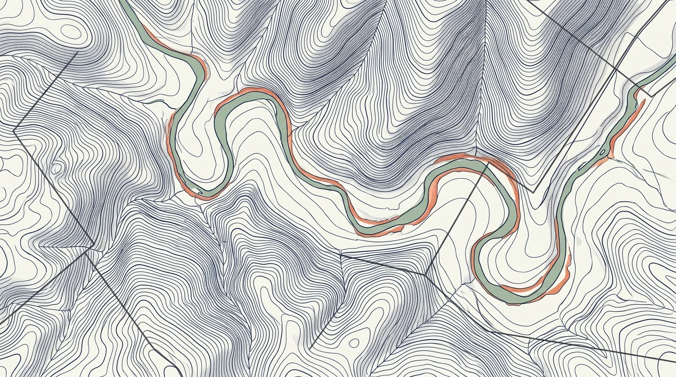
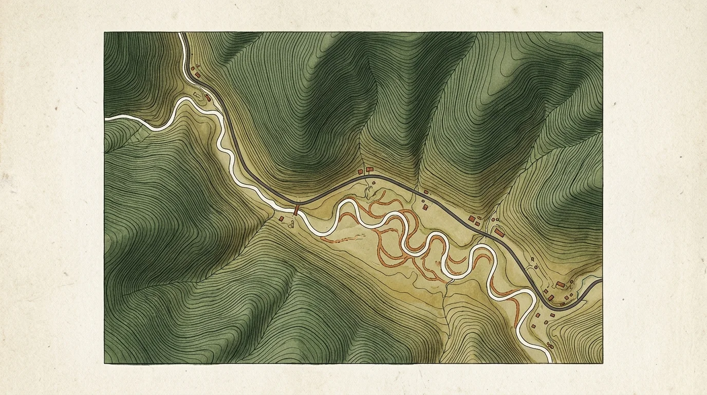
South Peacham Brook is almost certainly a victim of past land management: many brooks in the Northeast Kingdom were straightened for agriculture or road construction, leaving them incised and disconnected from the surrounding land. The design work now being pursued will determine exactly what restoration looks like on this stretch of stream.
With engineering design as the current phase, construction is still some way off. The work ahead will shape how much flood protection Peacham's residents and roads ultimately get from the project.