Scientists at Oregon State University are embarking on a five-year effort to find out what toxic chemicals are actually in the Lower Columbia River, including ones that regulators have never tested for, and whether those chemicals are harming the communities that depend on the water.
The EPA is funding the work with a $2,021,385 grant through its Columbia River Basin Restoration Program, a federal initiative established under the Clean Water Act to address what has long been recognized as one of the most contaminated river systems in the western United States. A 2009 EPA study found fish tissue in the Lower Columbia had some of the highest concentrations of toxic contaminants of any major river in the region. Portland Harbor, where the Willamette meets the Columbia, was designated a federal Superfund site in 2000 and its cleanup, estimated to cost over $1 billion, is still ongoing.
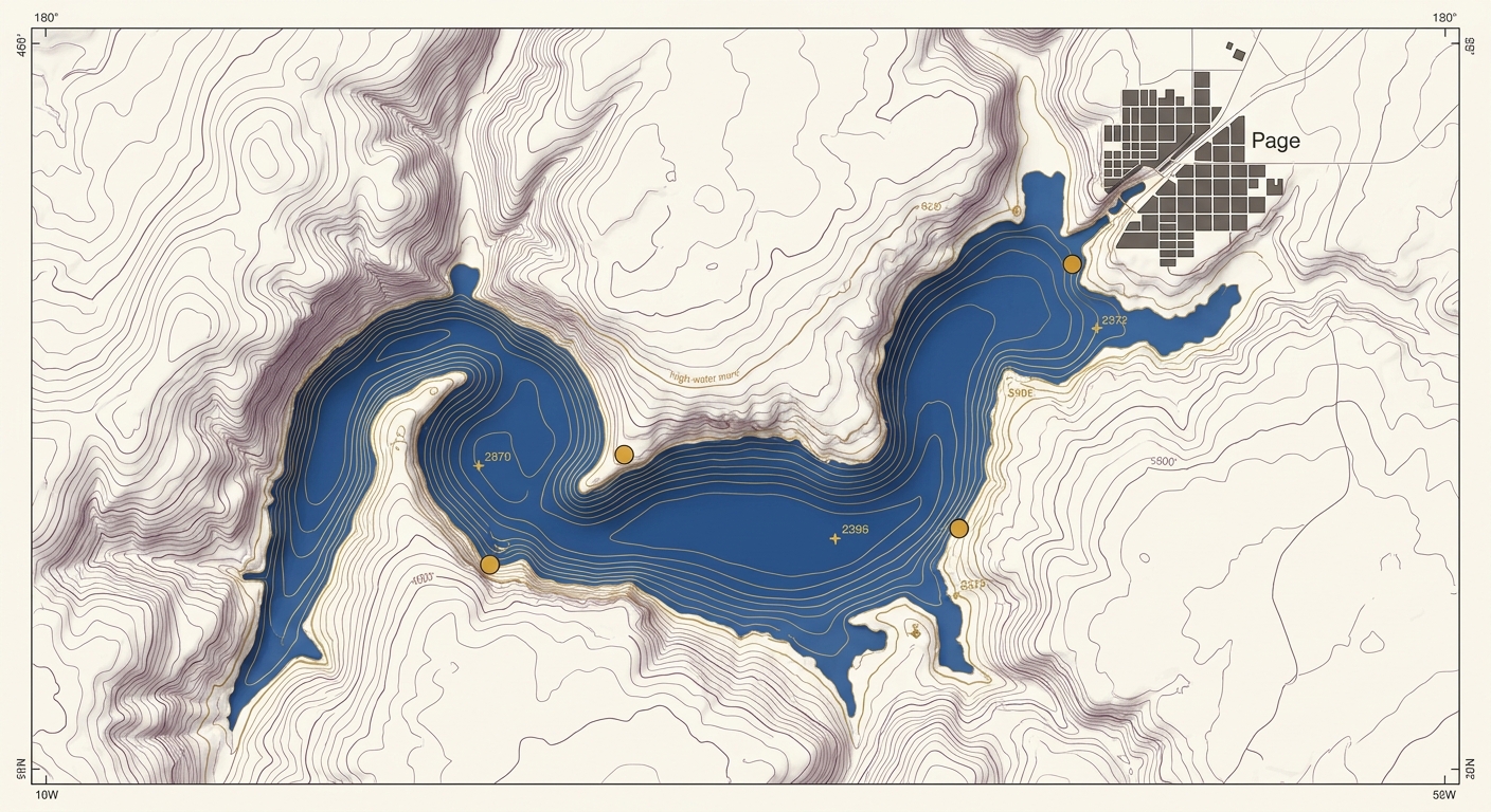
But while Portland Harbor has drawn sustained attention, the broader 170-mile stretch of the Lower Columbia from Bonneville Dam to the Pacific has lacked systematic monitoring, particularly for emerging contaminants like PFAS, pharmaceuticals, and pesticide byproducts that aren't yet subject to federal regulation.

Source: NationGraph.
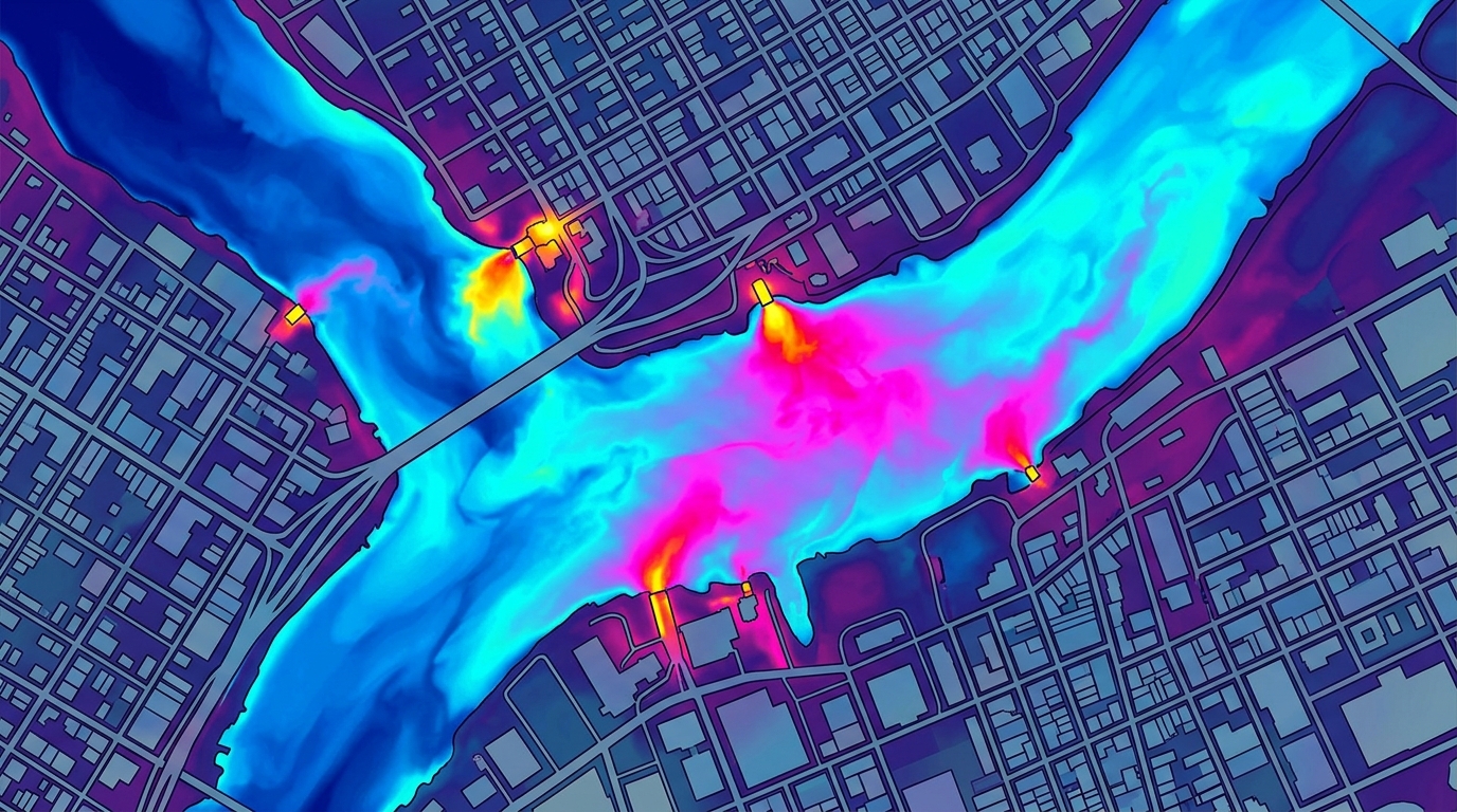
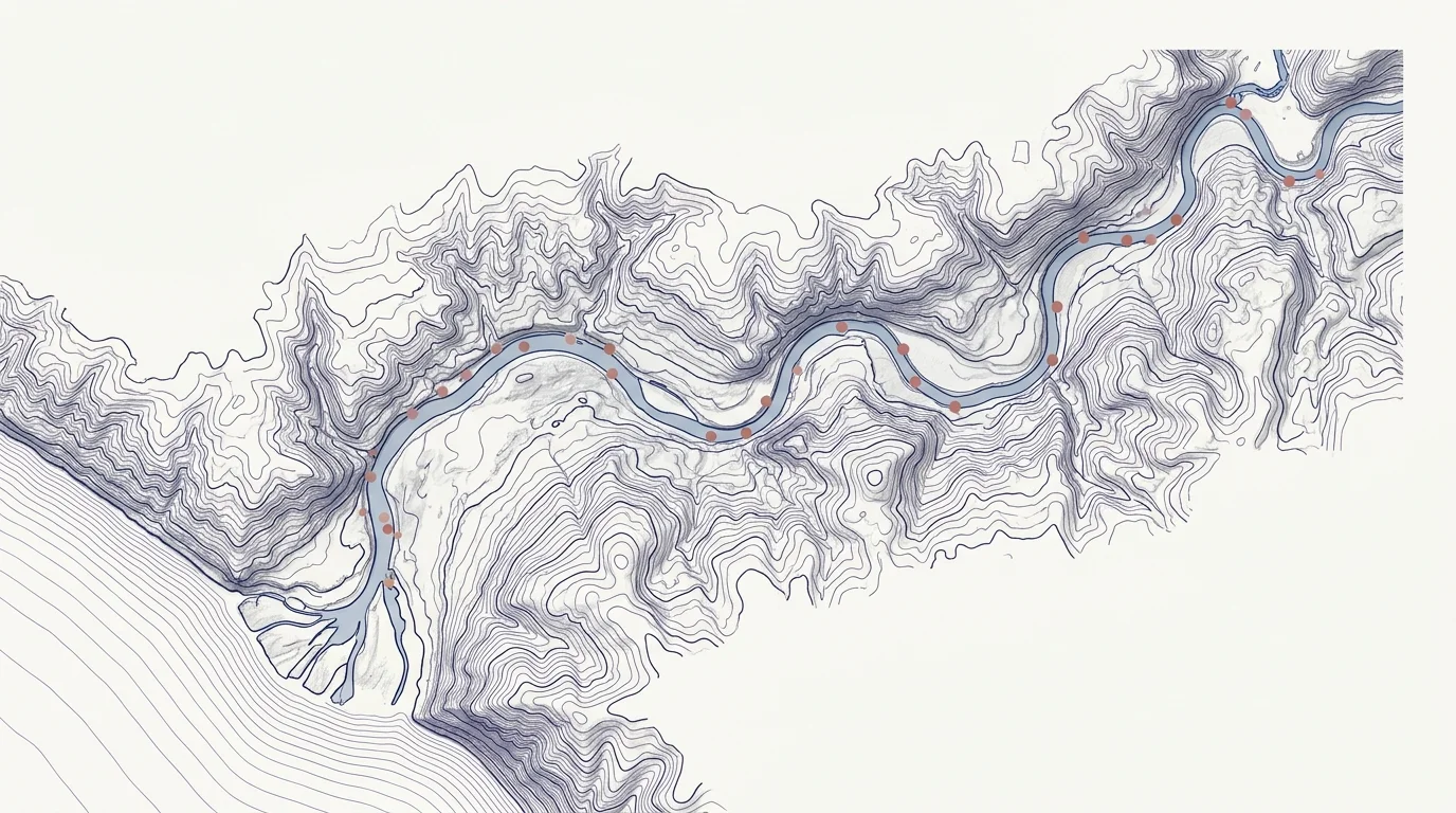
OSU's project takes a different approach than conventional environmental monitoring. Rather than testing water samples against a fixed list of known regulated chemicals, researchers will use non-targeted analysis to detect organic contaminants that may never have been identified in the river before. They'll establish 15 to 20 sampling sites along the corridor and test what they find for toxicity using zebrafish embryo models and human cell assays. When contaminants of concern turn up, isotope analysis will help trace them back to their original sources, whether industrial, agricultural, or urban.
The approach matters because communities along the Lower Columbia face exposure risks that go well beyond what standard monitoring captures. Several tribal nations, including the Confederated Tribes of Grand Ronde and the Confederated Tribes of Warm Springs, hold treaty-reserved fishing rights on the river and rely on it for subsistence. Latino farmworker communities in the region also fish the river regularly. Oregon and Washington have long issued fish consumption advisories for the Lower Columbia due to PCBs, mercury, and dioxins, but those advisories say nothing about chemicals that haven't been measured.
Columbia Riverkeeper, a nonprofit advocacy organization with deep ties to communities along the river, is a formal partner on the project and will receive $100,000 of the grant funding over the five years to lead outreach. The organization will help OSU prioritize sampling locations based on community concerns, produce bilingual Spanish and English fact sheets, and host public events to share findings. That community input, researchers say, is part of how they'll decide which unknown chemicals to search for in the first place.
The data OSU collects is intended to be more than academic. The primary goal is to hand regulatory agencies a rigorous, evidence-based picture of what's in the river so they can write enforceable rules. Whether those agencies act on the findings, and how quickly, remains an open question as the study gets underway.