Archuleta County, Colorado is getting $720,521 in federal funding to stabilize eroding streambanks and clear flood debris threatening roads and infrastructure in the southwestern corner of the state, where worsening wildfire and flood cycles are straining a county that can't easily afford to protect itself.
The grant comes from the USDA's Natural Resources Conservation Service through its Emergency Watershed Protection Program, a federal mechanism designed to help communities recover after floods, fires, or other disasters damage waterways and put infrastructure at risk. Because the program typically covers 75% of project costs, Archuleta County or a local partner is likely contributing a 25% match, bringing the total project value to roughly $960,000.
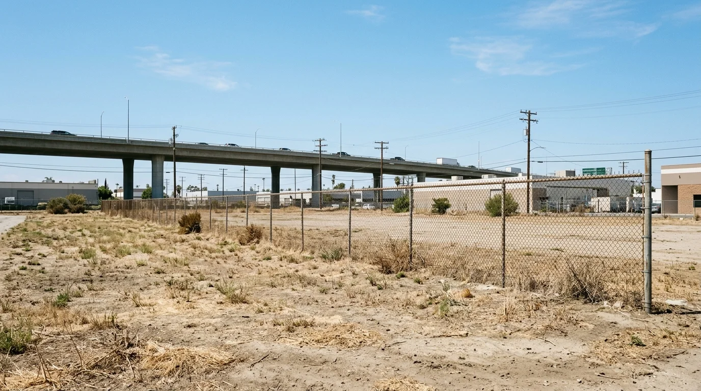
The county of about 14,000 people, with Pagosa Springs as its only incorporated town, is built around river corridors. Roads, bridges, water lines, and sewer systems follow narrow mountain valleys carved by the San Juan River and its tributaries, the same waterways that flood when storms hit. That geography made these systems effective to build decades ago, but it also means a single bad flood event can cut off communities or knock out utilities.
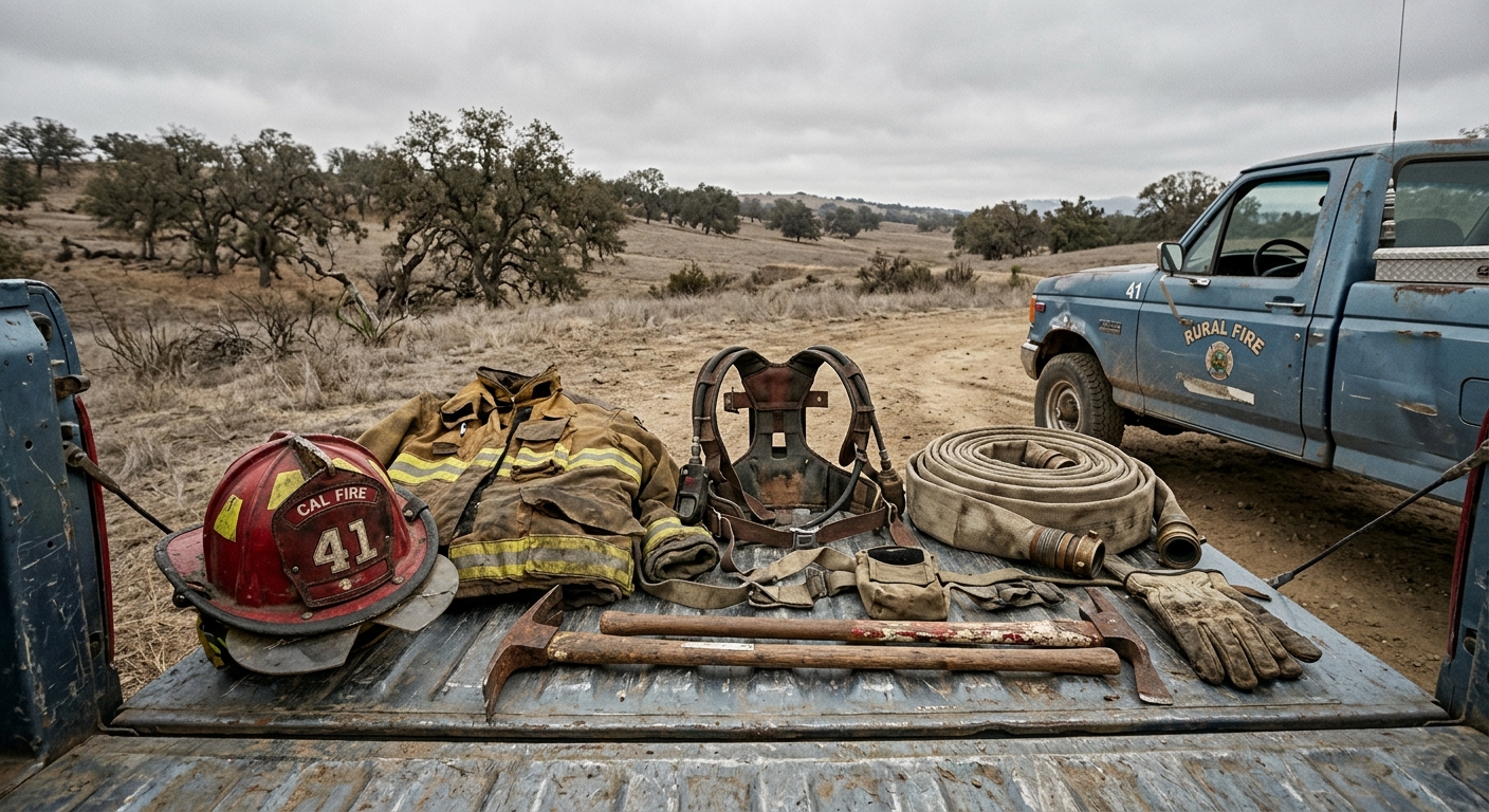
Making matters worse is a pattern climate scientists have documented across Colorado's mountain counties: wildfires strip hillsides bare, and the resulting burn scars turn ordinary rainstorms into flash floods and debris flows for years afterward. The 2018 416 Fire near neighboring Durango burned more than 54,000 acres and triggered severe flooding in subsequent monsoon seasons. Archuleta County faces the same terrain and the same risks. The 2024 East Fork Fire added to regional concerns about post-fire flooding across southwestern Colorado.
On top of that, the region is experiencing what researchers call weather whiplash: overall drier conditions punctuated by increasingly intense bursts of precipitation. Snowpack is declining, but summer monsoons are hitting harder, a combination that accelerates streambank erosion and overwhelms infrastructure that wasn't designed for it.
Archuleta County has limited ability to fund large-scale flood protection on its own. Its tax base is modest, its median household income trails the state average, and much of the land within its borders is National Forest, which generates no property tax revenue. Federal programs like this one fill a gap that local budgets simply can't. Similar USDA emergency watershed grants have gone to rural mountain communities elsewhere facing comparable pressures, including [Price, Utah](articles/price-utah-getting-1m-to-guard-against-flash-floods-and-erosion) and [Gila County, Arizona](articles/gila-county-arizona-gets-265m-to-repair-watersheds-after-flooding).
The specific disaster event that triggered this award hasn't been disclosed in public records. Work on streambank stabilization and debris removal is expected to proceed under NRCS oversight, though the program has at times drawn criticism nationally for slow disbursement timelines after disasters are declared.